
Salem District Mineral Foundation Trust

Salem became part of Salem district since independence in 1947. Salem district was the first district to be formed in India on 4 April 1792 that spread over 7,530 sq.km. comprising the present-day Namakkal, Dharmapuri, Krishnagiri. Alexander Reed was the collector of the Salem district from 1792 to 1799.
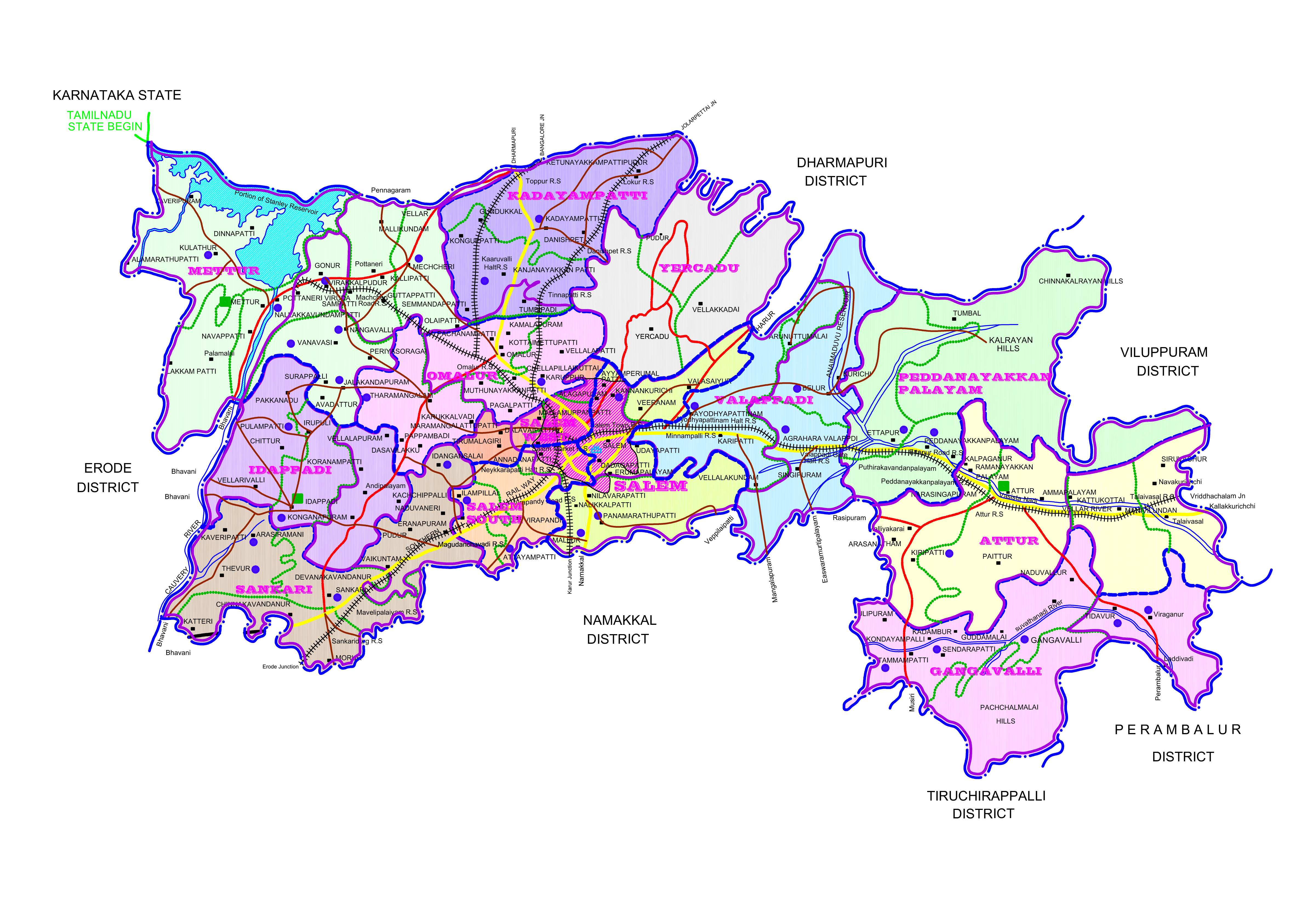
Salem is located at 11.67°N 78.14°E, at an average elevation of 278 m (912 ft.). The city is surrounded by hills: Nagaramalai on the north, Jarugumalai on the south, Kanjamalai on the west, Godumalai on the east and the Shevaroy Hills on the northeast. Kariyaperumal Hill is in southwestern Salem. The Thirumanimutharu River flows through the city, dividing it in two. The fort area is the oldest part of Salem. Salem lies in the foothills of Shevaroy hills which houses the famous hill Station 'Yercaud'. It is located about 140 kilometres (87 mi) northwest of Tiruchirappalli, 170 kilometres (106 mi) northeast of Coimbatore, 206 kilometres (128 mi) southeast of Bangalore and about 346 kilometres (210 mi) southwest of the state capital, Chennai.
Salem has a tropical savanna climate (Köppen climate classification Aw). January and February are generally pleasant; the hot summer begins in March, with the year's highest temperatures during April. Pre-monsoon thunderstorms occur during April and May. The Southwest monsoon season lasts from June to September. The northeast monsoon occurs from October to December.